Manley Road houses, Newport
Introduction
The photograph on this page of Manley Road houses, Newport by Jaggery as part of the Geograph project.
The Geograph project started in 2005 with the aim of publishing, organising and preserving representative images for every square kilometre of Great Britain, Ireland and the Isle of Man.

There are currently over 7.5m images from over 14,400 individuals and you can help contribute to the project by visiting https://www.geograph.org.uk
Manley Road houses, Newport
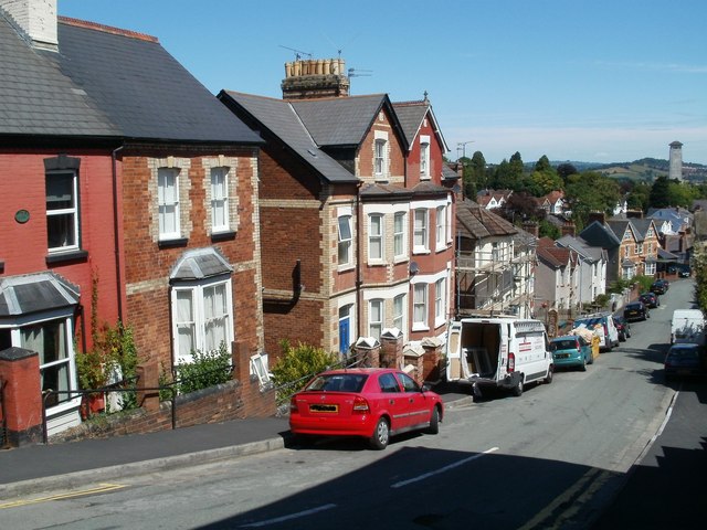
Image: © Jaggery Taken: 26 Jul 2011
Houses on the west side of Manley Road, viewed from near the Risca Road end. In the distance, at the right edge of the view, is the Civic Centre clock tower. http://www.geograph.org.uk/photo/2198118
Images are licensed for reuse under creativecommons.org/licenses/by-sa/2.0
Image Location
Latitude
51.583791
Longitude
-3.011692