The National Waterways Museum, Llanthony Warehouse, Gloucester Docks
Introduction
The photograph on this page of The National Waterways Museum, Llanthony Warehouse, Gloucester Docks by Christine Johnstone as part of the Geograph project.
The Geograph project started in 2005 with the aim of publishing, organising and preserving representative images for every square kilometre of Great Britain, Ireland and the Isle of Man.

There are currently over 7.5m images from over 14,400 individuals and you can help contribute to the project by visiting https://www.geograph.org.uk
The National Waterways Museum, Llanthony Warehouse, Gloucester Docks
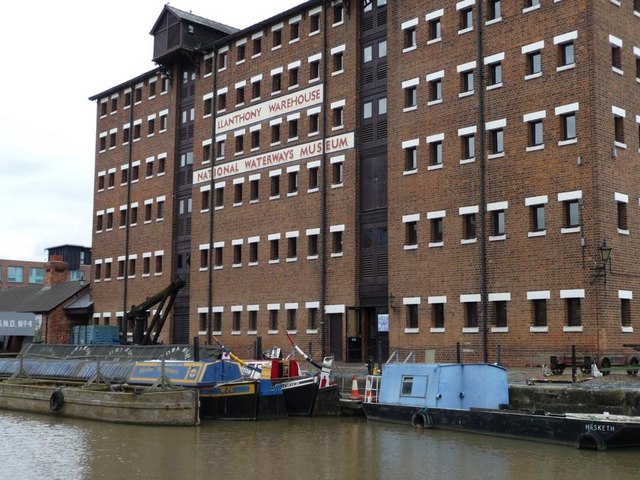
Image: © Christine Johnstone Taken: 22 Jul 2011
A lot of regional development money has been invested in finding new uses for Gloucester Docks, at the head of the Gloucester and Sharpness Canal.
Images are licensed for reuse under creativecommons.org/licenses/by-sa/2.0
Image Location
Latitude
51.862741
Longitude
-2.252051