Farmland, Sutton Mallet
Introduction
The photograph on this page of Farmland, Sutton Mallet by Richard Webb as part of the Geograph project.
The Geograph project started in 2005 with the aim of publishing, organising and preserving representative images for every square kilometre of Great Britain, Ireland and the Isle of Man.

There are currently over 7.5m images from over 14,400 individuals and you can help contribute to the project by visiting https://www.geograph.org.uk
Farmland, Sutton Mallet
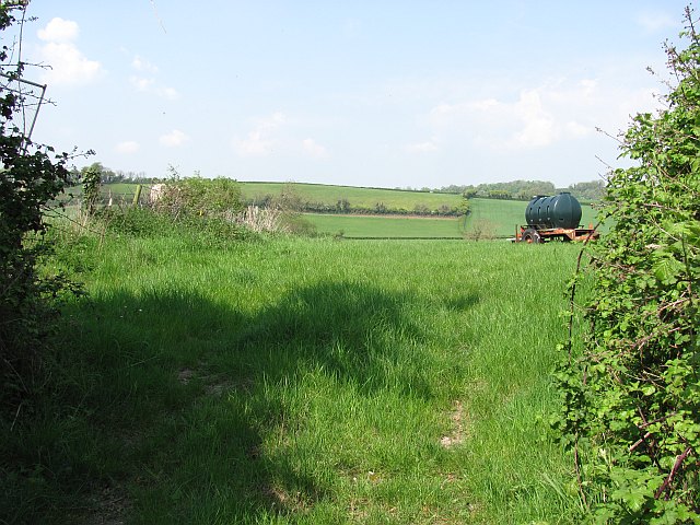
Image: © Richard Webb Taken: 21 Apr 2011
Looking up, but not too up as it is only 50m above sea level, to Ball Hill.
Images are licensed for reuse under creativecommons.org/licenses/by-sa/2.0
Image Location
Latitude
51.130396
Longitude
-2.892565