Looking East Towards Tal-y-mignedd-isaf
Introduction
The photograph on this page of Looking East Towards Tal-y-mignedd-isaf by Eric Jones as part of the Geograph project.
The Geograph project started in 2005 with the aim of publishing, organising and preserving representative images for every square kilometre of Great Britain, Ireland and the Isle of Man.

There are currently over 7.5m images from over 14,400 individuals and you can help contribute to the project by visiting https://www.geograph.org.uk
Looking East Towards Tal-y-mignedd-isaf
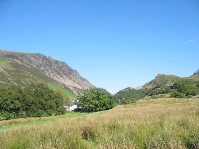
Image: © Eric Jones Taken: 8 Sep 2006
This photo shows the poor quality of the natural vegetation in this area and reason why farmers plant grasses for pasturage. The mountain on the left of the photograph is Mynydd Mawr.
Images are licensed for reuse under creativecommons.org/licenses/by-sa/2.0
Image Location


Leaflet Map data © OpenStreetMap
Latitude
53.05303
Longitude
-4.197629