Farmland at East Lydford
Introduction
The photograph on this page of Farmland at East Lydford by Graham Horn as part of the Geograph project.
The Geograph project started in 2005 with the aim of publishing, organising and preserving representative images for every square kilometre of Great Britain, Ireland and the Isle of Man.

There are currently over 7.5m images from over 14,400 individuals and you can help contribute to the project by visiting https://www.geograph.org.uk
Farmland at East Lydford
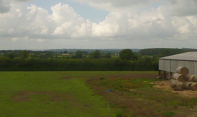
Image: © Graham Horn Taken: 9 Jul 2011
I have checked the location carefully and this is definitely the correct spot. The barn to the right is new and post dates the 1:20,000 map and Google maps. This photo was taken from the 1158 Penzance to London Paddington train, having left Taunton at 1529.
Images are licensed for reuse under creativecommons.org/licenses/by-sa/2.0
Image Location
Latitude
51.075863
Longitude
-2.603744