River Tay, Dunkeld
Introduction
The photograph on this page of River Tay, Dunkeld by Richard Webb as part of the Geograph project.
The Geograph project started in 2005 with the aim of publishing, organising and preserving representative images for every square kilometre of Great Britain, Ireland and the Isle of Man.

There are currently over 7.5m images from over 14,400 individuals and you can help contribute to the project by visiting https://www.geograph.org.uk
River Tay, Dunkeld
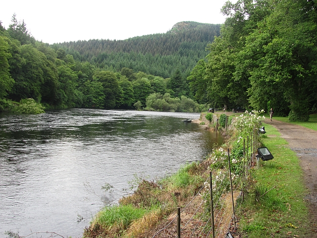
Image: © Richard Webb Taken: 18 Jul 2011
The river running past the Dunkeld House Hotel. The path is used by the National Cycle Network.
Images are licensed for reuse under creativecommons.org/licenses/by-sa/2.0
Image Location
Latitude
56.563903
Longitude
-3.611882