No 73 The High Street, Heytesbury
Introduction
The photograph on this page of No 73 The High Street, Heytesbury by Maigheach-gheal as part of the Geograph project.
The Geograph project started in 2005 with the aim of publishing, organising and preserving representative images for every square kilometre of Great Britain, Ireland and the Isle of Man.

There are currently over 7.5m images from over 14,400 individuals and you can help contribute to the project by visiting https://www.geograph.org.uk
No 73 The High Street, Heytesbury
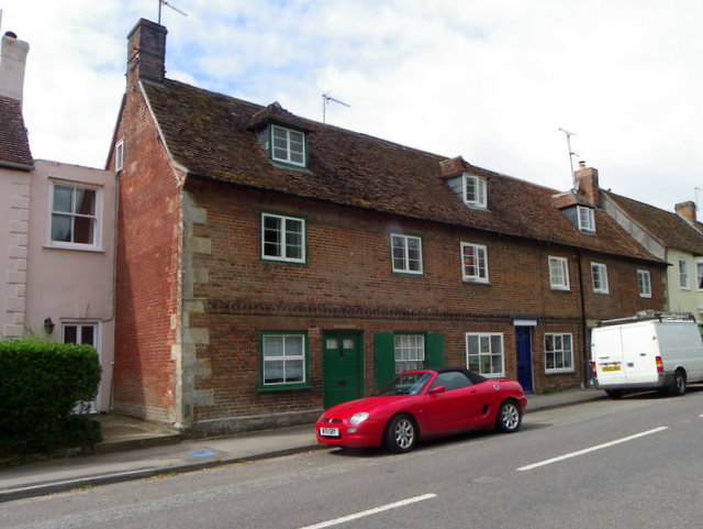
Image: © Maigheach-gheal Taken: 24 Jul 2011
There is an Ordnance Survey flush bracket on the north east angle of this late 18th century building (green shutters).
Images are licensed for reuse under creativecommons.org/licenses/by-sa/2.0
Image Location
Latitude
51.182492
Longitude
-2.106251