Field, Berryfield
Introduction
The photograph on this page of Field, Berryfield by Derek Harper as part of the Geograph project.
The Geograph project started in 2005 with the aim of publishing, organising and preserving representative images for every square kilometre of Great Britain, Ireland and the Isle of Man.

There are currently over 7.5m images from over 14,400 individuals and you can help contribute to the project by visiting https://www.geograph.org.uk
Field, Berryfield
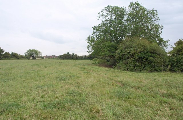
Image: © Derek Harper Taken: 20 Jul 2011
The trees on the right are at the inner angle of an L-shaped field of grass, crossed by footpath MELW4. Houses at Berryfield can be seen on the left.
Images are licensed for reuse under creativecommons.org/licenses/by-sa/2.0
Image Location
Latitude
51.360833
Longitude
-2.156645