Uncle Jack's
Introduction
The photograph on this page of Uncle Jack's by David Dixon as part of the Geograph project.
The Geograph project started in 2005 with the aim of publishing, organising and preserving representative images for every square kilometre of Great Britain, Ireland and the Isle of Man.

There are currently over 7.5m images from over 14,400 individuals and you can help contribute to the project by visiting https://www.geograph.org.uk
Uncle Jack's
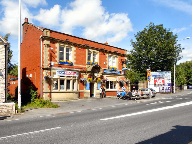
Image: © David Dixon Taken: 23 Jul 2011
Uncle Jack's pub, Branch Road, Lower Darwen. The pub's website (http://www.unclejacks.co.uk/index.php?option=com_frontpage&Itemid=1 ) has more photos including interior pictures.
Images are licensed for reuse under creativecommons.org/licenses/by-sa/2.0
Image Location
Latitude
53.721447
Longitude
-2.476867