Former Alfold School
Introduction
The photograph on this page of Former Alfold School by Dave Spicer as part of the Geograph project.
The Geograph project started in 2005 with the aim of publishing, organising and preserving representative images for every square kilometre of Great Britain, Ireland and the Isle of Man.

There are currently over 7.5m images from over 14,400 individuals and you can help contribute to the project by visiting https://www.geograph.org.uk
Former Alfold School
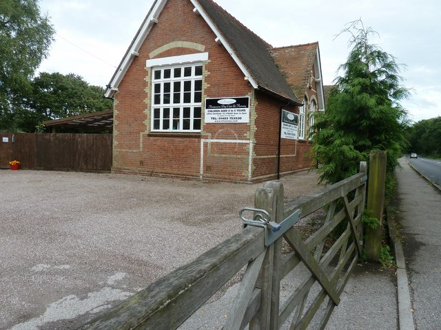
Image: © Dave Spicer Taken: 17 Jul 2011
Although this northern end is a Day Care and Nursery the remainder of the building is private dwelling.
Images are licensed for reuse under creativecommons.org/licenses/by-sa/2.0
Image Location
Latitude
51.100315
Longitude
-0.517915