New England Street
Introduction
The photograph on this page of New England Street by Simon Carey as part of the Geograph project.
The Geograph project started in 2005 with the aim of publishing, organising and preserving representative images for every square kilometre of Great Britain, Ireland and the Isle of Man.

There are currently over 7.5m images from over 14,400 individuals and you can help contribute to the project by visiting https://www.geograph.org.uk
New England Street
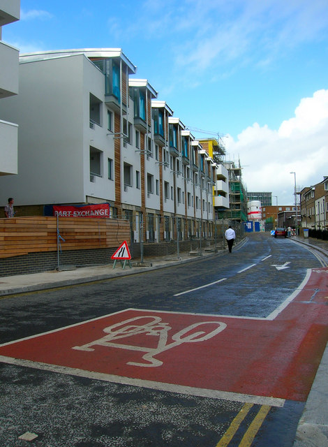
Image: © Simon Carey Taken: 1 Oct 2006
The eastern extent of the new New England Quarter development. Until the 1960s this road was actually Fleet Street with New England Street being limited to the northern section between New England Road and York Hill. When the area was redeveloped in the 1960s and the old railway workers houses demolished and replaced with faceless concrete blocks and car parks the whole stretch was renamed New England Street replacing New York Street and Fleet Street the former middle and southern sections respectively. However, the latter has been reprieved and given to the new section to the west which loops around the development. Consequently, the former busy New England Street has seen itself broken into two distinct parts and this section into a quiet back street.
Images are licensed for reuse under creativecommons.org/licenses/by-sa/2.0
Image Location
Latitude
50.829677
Longitude
-0.138414