Canterbury Road (A260), Swingfield Minnis
Introduction
The photograph on this page of Canterbury Road (A260), Swingfield Minnis by John Baker as part of the Geograph project.
The Geograph project started in 2005 with the aim of publishing, organising and preserving representative images for every square kilometre of Great Britain, Ireland and the Isle of Man.

There are currently over 7.5m images from over 14,400 individuals and you can help contribute to the project by visiting https://www.geograph.org.uk
Canterbury Road (A260), Swingfield Minnis
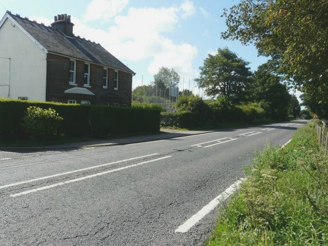
Image: © John Baker Taken: 22 Jul 2011
The scaffolding that can be seen in this view is for the erection of six affordable housing units on land adjoining Swingfield House. Planning permission has been approved, with conditions, by Folkestone and Hythe District Council under application number Y09/0738/SH for the “erection of 6 affordable housing units and provision of new access road”. The house to the left is semi-detached; the left half is called New Cottage and the right: Omar.
Images are licensed for reuse under creativecommons.org/licenses/by-sa/2.0
Image Location
Latitude
51.146418
Longitude
1.166485