Towards Ardington Wick
Introduction
The photograph on this page of Towards Ardington Wick by Des Blenkinsopp as part of the Geograph project.
The Geograph project started in 2005 with the aim of publishing, organising and preserving representative images for every square kilometre of Great Britain, Ireland and the Isle of Man.

There are currently over 7.5m images from over 14,400 individuals and you can help contribute to the project by visiting https://www.geograph.org.uk
Towards Ardington Wick
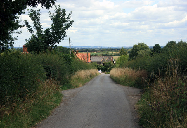
Image: © Des Blenkinsopp Taken: 22 Jul 2011
Wick denotes an outlying farm. Ardington was Aetheredingetun in 961, Aerdinton by 1192. The non-road footpaths in this square are very neglected.
Images are licensed for reuse under creativecommons.org/licenses/by-sa/2.0
Image Location
Latitude
51.602847
Longitude
-1.373455