Hampen Manor
Introduction
The photograph on this page of Hampen Manor by Michael Dibb as part of the Geograph project.
The Geograph project started in 2005 with the aim of publishing, organising and preserving representative images for every square kilometre of Great Britain, Ireland and the Isle of Man.

There are currently over 7.5m images from over 14,400 individuals and you can help contribute to the project by visiting https://www.geograph.org.uk
Hampen Manor
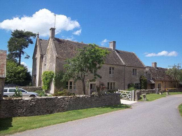
Image: © Michael Dibb Taken: 26 Jun 2011
This farmhouse has parts from the 17th, 18th and 19th centuries and is listed grade II. For more detail see:- http://www.britishlistedbuildings.co.uk/en-129201-hampen-manor-shipton
Images are licensed for reuse under creativecommons.org/licenses/by-sa/2.0
Image Location
Latitude
51.876473
Longitude
-1.922238