A30 east of Redruth
Introduction
The photograph on this page of A30 east of Redruth by Graham Horn as part of the Geograph project.
The Geograph project started in 2005 with the aim of publishing, organising and preserving representative images for every square kilometre of Great Britain, Ireland and the Isle of Man.

There are currently over 7.5m images from over 14,400 individuals and you can help contribute to the project by visiting https://www.geograph.org.uk
A30 east of Redruth
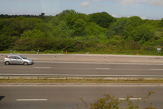
Image: © Graham Horn Taken: 9 Jul 2011
One of the few sections where the road and the railway run parallel. It must encourage a few car drivers to race the train but we were comfortably overhauling this silver car. Opposite, behind the eastbound lay by, is a triangle of land that formerly contained the junction of the railway to St Agnes. The connection to the main line has been obliterated by the dual carriageway. This photo was taken from the 1158 Penzance to London Paddington train, having left Redruth at 1231.
Images are licensed for reuse under creativecommons.org/licenses/by-sa/2.0
Image Location
Latitude
50.264922
Longitude
-5.183708