Oats and trees
Introduction
The photograph on this page of Oats and trees by Derek Harper as part of the Geograph project.
The Geograph project started in 2005 with the aim of publishing, organising and preserving representative images for every square kilometre of Great Britain, Ireland and the Isle of Man.

There are currently over 7.5m images from over 14,400 individuals and you can help contribute to the project by visiting https://www.geograph.org.uk
Oats and trees
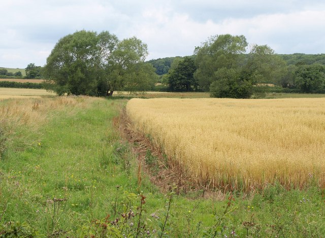
Image: © Derek Harper Taken: 19 Jul 2011
The trees across the oatfield are along the Rodbourne stream. On the hill beyond is Bincombe Hill, in Image This view is from bridleway MALW61.
Images are licensed for reuse under creativecommons.org/licenses/by-sa/2.0
Image Location
Latitude
51.533077
Longitude
-2.107355