Western end of High Street, Llangadog
Introduction
The photograph on this page of Western end of High Street, Llangadog by Jaggery as part of the Geograph project.
The Geograph project started in 2005 with the aim of publishing, organising and preserving representative images for every square kilometre of Great Britain, Ireland and the Isle of Man.

There are currently over 7.5m images from over 14,400 individuals and you can help contribute to the project by visiting https://www.geograph.org.uk
Western end of High Street, Llangadog
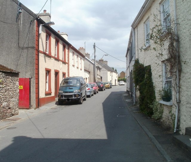
Image: © Jaggery Taken: 3 Jul 2011
Viewed from Queen's Square. High Street is residential. The commercial centre of the village is behind the camera, in Queen's Square and Church Street.
Images are licensed for reuse under creativecommons.org/licenses/by-sa/2.0
Image Location


Leaflet Map data © OpenStreetMap
Latitude
51.937239
Longitude
-3.882257