Stokesay Close
Introduction
The photograph on this page of Stokesay Close by Bill Boaden as part of the Geograph project.
The Geograph project started in 2005 with the aim of publishing, organising and preserving representative images for every square kilometre of Great Britain, Ireland and the Isle of Man.

There are currently over 7.5m images from over 14,400 individuals and you can help contribute to the project by visiting https://www.geograph.org.uk
Stokesay Close
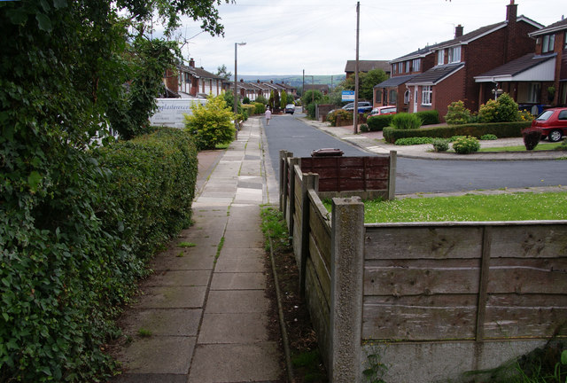
Image: © Bill Boaden Taken: 21 Jul 2011
Part of the Alnwick Drive estate. This is taken from a path which runs up the side of the estate from the footbridge over the River Roch to Hollins Lane.
Images are licensed for reuse under creativecommons.org/licenses/by-sa/2.0
Image Location
Latitude
53.569425
Longitude
-2.289878