A closer look at one of the Wickenstones
Introduction
The photograph on this page of A closer look at one of the Wickenstones by Jonathan Kington as part of the Geograph project.
The Geograph project started in 2005 with the aim of publishing, organising and preserving representative images for every square kilometre of Great Britain, Ireland and the Isle of Man.

There are currently over 7.5m images from over 14,400 individuals and you can help contribute to the project by visiting https://www.geograph.org.uk
A closer look at one of the Wickenstones
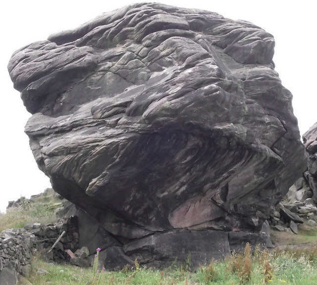
Image: © Jonathan Kington Taken: 20 Jul 2011
This is a more detailed view using telephoto assistance of the huge gritstone boulder that appears in Image, to give an idea of scale the Foxglove plant in front of it is approximately 60cm (2 feet) high. The Wickenstones are a linear outcropping of Gritstone that some claim to be the most southerly point of the Pennine chain.
Images are licensed for reuse under creativecommons.org/licenses/by-sa/2.0
Image Location
Latitude
53.111797
Longitude
-2.153084