Bexleyheath Line
Introduction
The photograph on this page of Bexleyheath Line by Marathon as part of the Geograph project.
The Geograph project started in 2005 with the aim of publishing, organising and preserving representative images for every square kilometre of Great Britain, Ireland and the Isle of Man.

There are currently over 7.5m images from over 14,400 individuals and you can help contribute to the project by visiting https://www.geograph.org.uk
Bexleyheath Line
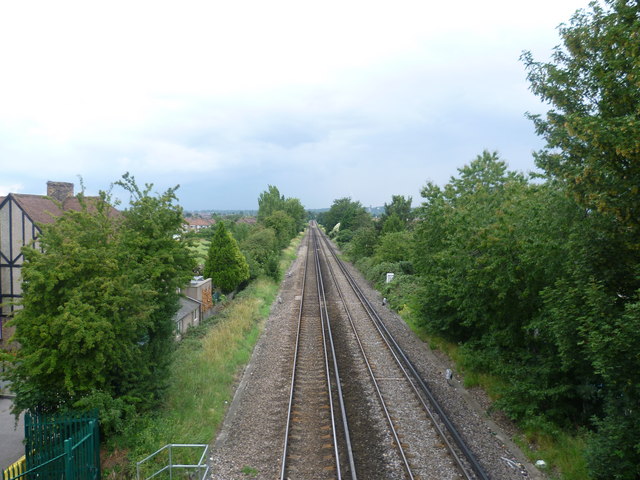
Image: © Marathon Taken: 21 Jul 2011
The Bexleyheath Line was opened between Blackheath and Slade Green Junction in 1895. The view is from the footbridge that links Gipsy Road and South Gipsy Road, and looks in the direction of Welling station. Shooters Hill Water Tower can just be made out on the horizon to the right of the line.
Images are licensed for reuse under creativecommons.org/licenses/by-sa/2.0
Image Location
Latitude
51.46395
Longitude
0.121231