Signal gantry next to Clayponds Lane bridge
Introduction
The photograph on this page of Signal gantry next to Clayponds Lane bridge by Marathon as part of the Geograph project.
The Geograph project started in 2005 with the aim of publishing, organising and preserving representative images for every square kilometre of Great Britain, Ireland and the Isle of Man.

There are currently over 7.5m images from over 14,400 individuals and you can help contribute to the project by visiting https://www.geograph.org.uk
Signal gantry next to Clayponds Lane bridge
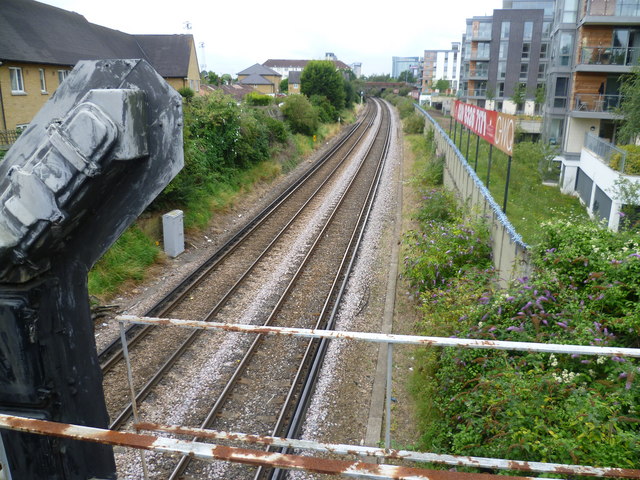
Image: © Marathon Taken: 20 Jul 2011
The Hounslow Loop was opened in 1849. This view looks from Clayponds Lane bridge past the gantry holding the up signal in the direction of Brentford station.
Images are licensed for reuse under creativecommons.org/licenses/by-sa/2.0
Image Location
Latitude
51.489948
Longitude
-0.298615