End of the platform, Chippenham station
Introduction
The photograph on this page of End of the platform, Chippenham station by Derek Harper as part of the Geograph project.
The Geograph project started in 2005 with the aim of publishing, organising and preserving representative images for every square kilometre of Great Britain, Ireland and the Isle of Man.

There are currently over 7.5m images from over 14,400 individuals and you can help contribute to the project by visiting https://www.geograph.org.uk
End of the platform, Chippenham station
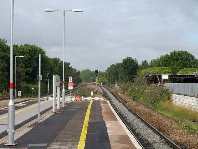
Image: © Derek Harper Taken: 19 Jul 2011
The western end of the station extends into this square. This view looks down the line in the direction of Melksham and Bath. Considering it is crossing the northern side of the town centre, the line looks quite sylvan. Brunel's 1841 viaduct beneath is grade II* listed http://www.britishlistedbuildings.co.uk/en-462388-railway-viaduct-chippenham .
Images are licensed for reuse under creativecommons.org/licenses/by-sa/2.0
Image Location
Latitude
51.461855
Longitude
-2.117264