The old A9, Waterloo
Introduction
The photograph on this page of The old A9, Waterloo by Richard Webb as part of the Geograph project.
The Geograph project started in 2005 with the aim of publishing, organising and preserving representative images for every square kilometre of Great Britain, Ireland and the Isle of Man.

There are currently over 7.5m images from over 14,400 individuals and you can help contribute to the project by visiting https://www.geograph.org.uk
The old A9, Waterloo
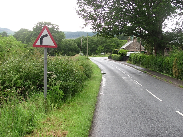
Image: © Richard Webb Taken: 18 Jul 2011
The twisting road between Birnam and Bankfoot was replaced by a new road in the late 1970s.
Images are licensed for reuse under creativecommons.org/licenses/by-sa/2.0
Image Location
Latitude
56.51451
Longitude
-3.531773