Waterworks building, Elland Upper Edge, Rastrick
Introduction
The photograph on this page of Waterworks building, Elland Upper Edge, Rastrick by Humphrey Bolton as part of the Geograph project.
The Geograph project started in 2005 with the aim of publishing, organising and preserving representative images for every square kilometre of Great Britain, Ireland and the Isle of Man.

There are currently over 7.5m images from over 14,400 individuals and you can help contribute to the project by visiting https://www.geograph.org.uk
Waterworks building, Elland Upper Edge, Rastrick
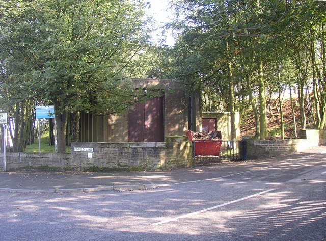
Image: © Humphrey Bolton Taken: 23 Sep 2006
Always a gloomy spot, due to the thickly planted trees. This is just in the western corner of Rastrick. The public footpath sign is puzzling, as it seems to point up Pinfold Lane, a public road.
Images are licensed for reuse under creativecommons.org/licenses/by-sa/2.0
Image Location
Latitude
53.682615
Longitude
-1.813737