Bridge of Allan, Allan Water
Introduction
The photograph on this page of Bridge of Allan, Allan Water by Robert Murray as part of the Geograph project.
The Geograph project started in 2005 with the aim of publishing, organising and preserving representative images for every square kilometre of Great Britain, Ireland and the Isle of Man.

There are currently over 7.5m images from over 14,400 individuals and you can help contribute to the project by visiting https://www.geograph.org.uk
Bridge of Allan, Allan Water
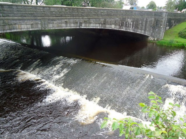
Image: © Robert Murray Taken: 19 Jul 2011
Unusual long weir that goes under the A9 bridge over the Allan to channel water into a mill lade.
Images are licensed for reuse under creativecommons.org/licenses/by-sa/2.0
Image Location
Latitude
56.156094
Longitude
-3.951565