House on Rodmill Drive
Introduction
The photograph on this page of House on Rodmill Drive by Oast House Archive as part of the Geograph project.
The Geograph project started in 2005 with the aim of publishing, organising and preserving representative images for every square kilometre of Great Britain, Ireland and the Isle of Man.

There are currently over 7.5m images from over 14,400 individuals and you can help contribute to the project by visiting https://www.geograph.org.uk
House on Rodmill Drive
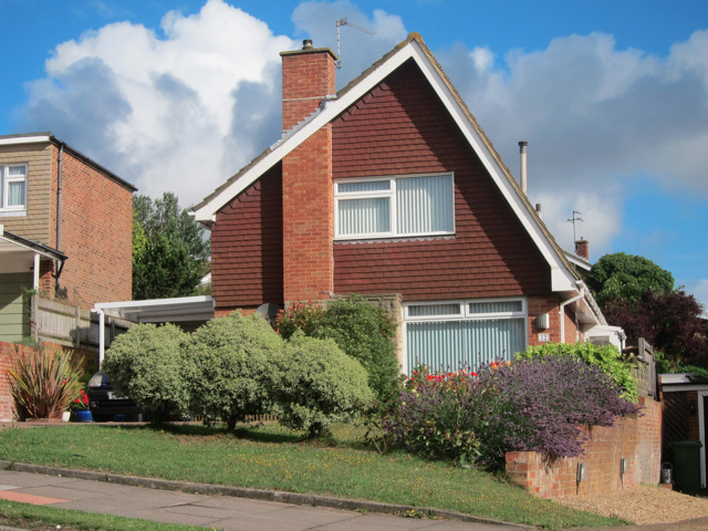
Image: © Oast House Archive Taken: 19 Jul 2011
One of a number of similar 1970s houses in the area, the roof gives the impression of a standard gable roof which has collapse on one side.
Images are licensed for reuse under creativecommons.org/licenses/by-sa/2.0
Image Location
Latitude
50.781268
Longitude
0.264532