Witney - Cogges Hill Road
Introduction
The photograph on this page of Witney - Cogges Hill Road by Peter Whatley as part of the Geograph project.
The Geograph project started in 2005 with the aim of publishing, organising and preserving representative images for every square kilometre of Great Britain, Ireland and the Isle of Man.

There are currently over 7.5m images from over 14,400 individuals and you can help contribute to the project by visiting https://www.geograph.org.uk
Witney - Cogges Hill Road
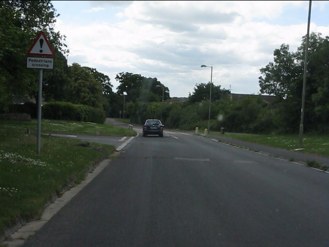
Image: © Peter Whatley Taken: 21 May 2011
The old lane to Stanton Harcourt now provides access to a sprawl of cheek-by-jowl modern housing southeast of Witney.
Images are licensed for reuse under creativecommons.org/licenses/by-sa/2.0
Image Location


Leaflet Map data © OpenStreetMap
Latitude
51.783239
Longitude
-1.470405