The Green Chain Walk alongside Sundridge Park Golf Course
Introduction
The photograph on this page of The Green Chain Walk alongside Sundridge Park Golf Course by Marathon as part of the Geograph project.
The Geograph project started in 2005 with the aim of publishing, organising and preserving representative images for every square kilometre of Great Britain, Ireland and the Isle of Man.

There are currently over 7.5m images from over 14,400 individuals and you can help contribute to the project by visiting https://www.geograph.org.uk
The Green Chain Walk alongside Sundridge Park Golf Course
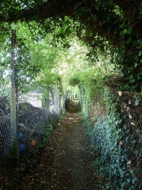
Image: © Marathon Taken: 15 Jul 2011
The Green Chain Walk here at Plaistow has come from Beckenham Place Park and is on its way to Elmstead Wood or Chinbrook Meadows. Sundridge Park Golf Course is on the right and allotments are to the left.
Images are licensed for reuse under creativecommons.org/licenses/by-sa/2.0
Image Location
Latitude
51.419984
Longitude
0.024122