Drinkwater Gardens, Gaer, Newport
Introduction
The photograph on this page of Drinkwater Gardens, Gaer, Newport by Jaggery as part of the Geograph project.
The Geograph project started in 2005 with the aim of publishing, organising and preserving representative images for every square kilometre of Great Britain, Ireland and the Isle of Man.

There are currently over 7.5m images from over 14,400 individuals and you can help contribute to the project by visiting https://www.geograph.org.uk
Drinkwater Gardens, Gaer, Newport
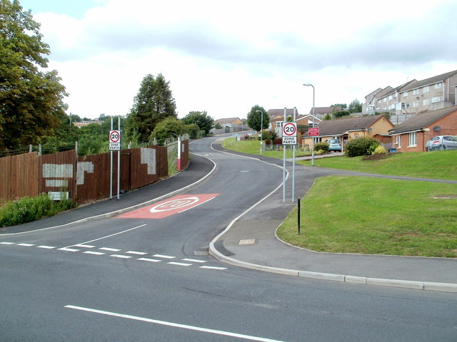
Image: © Jaggery Taken: 19 Jul 2011
Viewed from the corner of Masefield Vale. http://www.geograph.org.uk/photo/2512856 The most obvious change from this view http://www.geograph.org.uk/photo/1606182 taken in December 2009, is the introduction of a 20mph maximum speed zone.
Images are licensed for reuse under creativecommons.org/licenses/by-sa/2.0
Image Location
Latitude
51.574739
Longitude
-3.018706