Contaminated water - keep clear, Masefield Vale, Gaer, Newport
Introduction
The photograph on this page of Contaminated water - keep clear, Masefield Vale, Gaer, Newport by Jaggery as part of the Geograph project.
The Geograph project started in 2005 with the aim of publishing, organising and preserving representative images for every square kilometre of Great Britain, Ireland and the Isle of Man.

There are currently over 7.5m images from over 14,400 individuals and you can help contribute to the project by visiting https://www.geograph.org.uk
Contaminated water - keep clear, Masefield Vale, Gaer, Newport
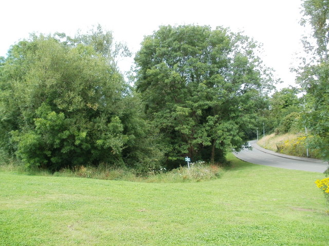
Image: © Jaggery Taken: 19 Jul 2011
Viewed from the corner of Shakespeare Crescent. At first glance, the trees on the side of Masefield Vale suggest a pleasant 'green lung' in the middle of the Gaer housing estate. But a notice warns CONTAMINATED WATER - KEEP CLEAR. The water is in a small brook, shown on the Ordnance Survey map as an 'issue', draining the higher ground on the west side of Masefield Vale. I do not know when or how the water was contaminated.
Images are licensed for reuse under creativecommons.org/licenses/by-sa/2.0
Image Location
Latitude
51.572941
Longitude
-3.018665