Newing Green seen from Pine Walk
Introduction
The photograph on this page of Newing Green seen from Pine Walk by Marathon as part of the Geograph project.
The Geograph project started in 2005 with the aim of publishing, organising and preserving representative images for every square kilometre of Great Britain, Ireland and the Isle of Man.

There are currently over 7.5m images from over 14,400 individuals and you can help contribute to the project by visiting https://www.geograph.org.uk
Newing Green seen from Pine Walk
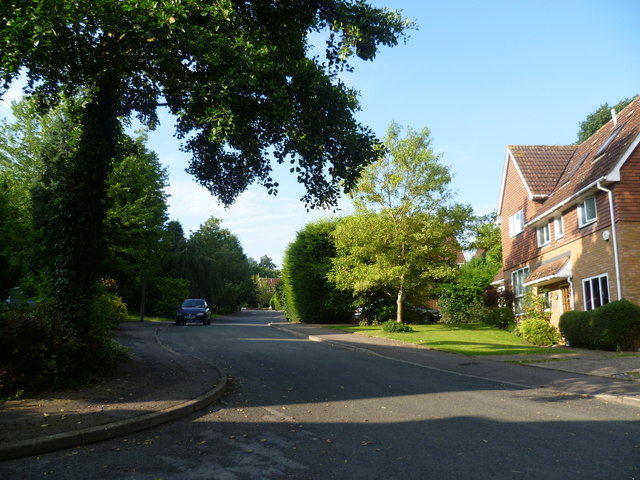
Image: © Marathon Taken: 15 Jul 2011
Pine Walk runs alongside Sundridge Park Golf Course and links Sundridge Avenue with Orchard Road in a straight line, instead of the longer route by road. It meets roads and houses at one or two points, like here where it passes the end of the suburban road called Newing Green.
Images are licensed for reuse under creativecommons.org/licenses/by-sa/2.0
Image Location
Latitude
51.413172
Longitude
0.038346