Track to Slade End Barn
Introduction
The photograph on this page of Track to Slade End Barn by Bill Nicholls as part of the Geograph project.
The Geograph project started in 2005 with the aim of publishing, organising and preserving representative images for every square kilometre of Great Britain, Ireland and the Isle of Man.

There are currently over 7.5m images from over 14,400 individuals and you can help contribute to the project by visiting https://www.geograph.org.uk
Track to Slade End Barn
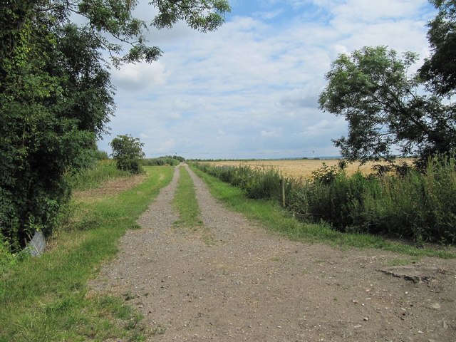
Image: © Bill Nicholls Taken: 10 Jul 2011
This is the other end of the track which is cut in two because of the Wallingford by pass. Image
Images are licensed for reuse under creativecommons.org/licenses/by-sa/2.0
Image Location
Latitude
51.60981
Longitude
-1.150821