Junction at Lelant Downs
Introduction
The photograph on this page of Junction at Lelant Downs by Graham Horn as part of the Geograph project.
The Geograph project started in 2005 with the aim of publishing, organising and preserving representative images for every square kilometre of Great Britain, Ireland and the Isle of Man.

There are currently over 7.5m images from over 14,400 individuals and you can help contribute to the project by visiting https://www.geograph.org.uk
Junction at Lelant Downs
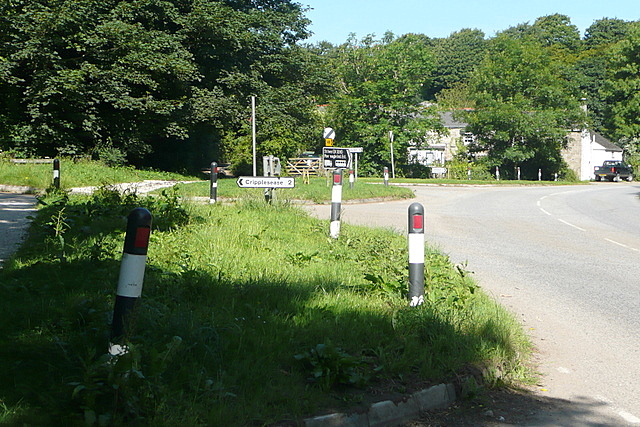
Image: © Graham Horn Taken: 2 Jul 2011
There is a meeting of five routes here. The road to St Ives bends round to the right, but we are going left down one of the lesser used lanes.
Images are licensed for reuse under creativecommons.org/licenses/by-sa/2.0
Image Location
Latitude
50.172523
Longitude
-5.463589