Carrick : The A30
Introduction
The photograph on this page of Carrick : The A30 by Lewis Clarke as part of the Geograph project.
The Geograph project started in 2005 with the aim of publishing, organising and preserving representative images for every square kilometre of Great Britain, Ireland and the Isle of Man.

There are currently over 7.5m images from over 14,400 individuals and you can help contribute to the project by visiting https://www.geograph.org.uk
Carrick : The A30
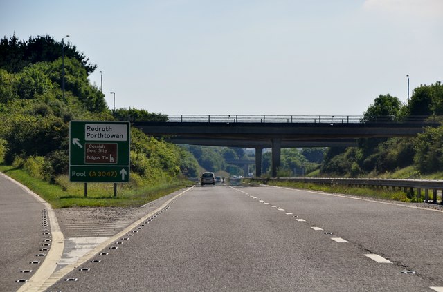
Image: © Lewis Clarke Taken: 3 Jul 2011
The turn off towards Redruth or carry on to Land's End along the A30.
Images are licensed for reuse under creativecommons.org/licenses/by-sa/2.0
Image Location
Latitude
50.245925
Longitude
-5.229858