Lane past Murley Farm
Introduction
The photograph on this page of Lane past Murley Farm by Derek Harper as part of the Geograph project.
The Geograph project started in 2005 with the aim of publishing, organising and preserving representative images for every square kilometre of Great Britain, Ireland and the Isle of Man.

There are currently over 7.5m images from over 14,400 individuals and you can help contribute to the project by visiting https://www.geograph.org.uk
Lane past Murley Farm
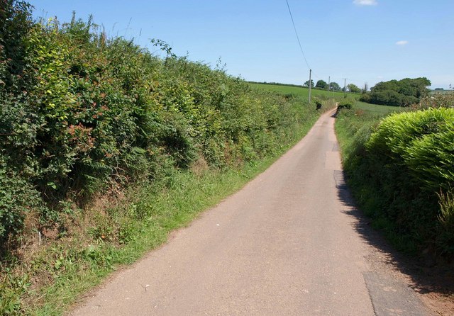
Image: © Derek Harper Taken: 14 Jul 2011
The lane, heading for Tower Hill, is only in square for 30 metres; it then crosses into Image Bright ferns on the right, beside the entrance to the farm. From the same spot as Image
Images are licensed for reuse under creativecommons.org/licenses/by-sa/2.0
Image Location
Latitude
50.944619
Longitude
-3.396458