Old Blockhouse
Introduction
The photograph on this page of Old Blockhouse by Robert Graham as part of the Geograph project.
The Geograph project started in 2005 with the aim of publishing, organising and preserving representative images for every square kilometre of Great Britain, Ireland and the Isle of Man.

There are currently over 7.5m images from over 14,400 individuals and you can help contribute to the project by visiting https://www.geograph.org.uk
Old Blockhouse
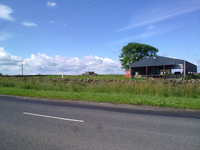
Image: © Robert Graham Taken: 10 Jul 2011
Old WW2 blockhouse at Ebchester Glebe. There is a crossroads a couple of hundred yards to the left of this picture, which was presumably the reason it was put here.
Images are licensed for reuse under creativecommons.org/licenses/by-sa/2.0
Image Location
Latitude
54.881451
Longitude
-1.832884