RC church garden
Introduction
The photograph on this page of RC church garden by Penny Mayes as part of the Geograph project.
The Geograph project started in 2005 with the aim of publishing, organising and preserving representative images for every square kilometre of Great Britain, Ireland and the Isle of Man.

There are currently over 7.5m images from over 14,400 individuals and you can help contribute to the project by visiting https://www.geograph.org.uk
RC church garden
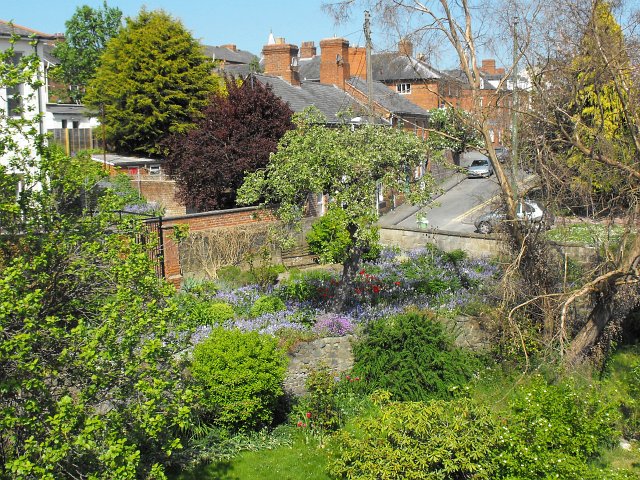
Image: © Penny Mayes Taken: 27 Apr 2011
On the river bank next to the Long Bridge. The dead tree on the right is a eucalyptus which did not survive the hard winter of 2009/2010. See it in better days here http://www.geograph.org.uk/photo/1386468. Beyond the garden is Frankwell Street.
Images are licensed for reuse under creativecommons.org/licenses/by-sa/2.0
Image Location
Latitude
52.517286
Longitude
-3.316845