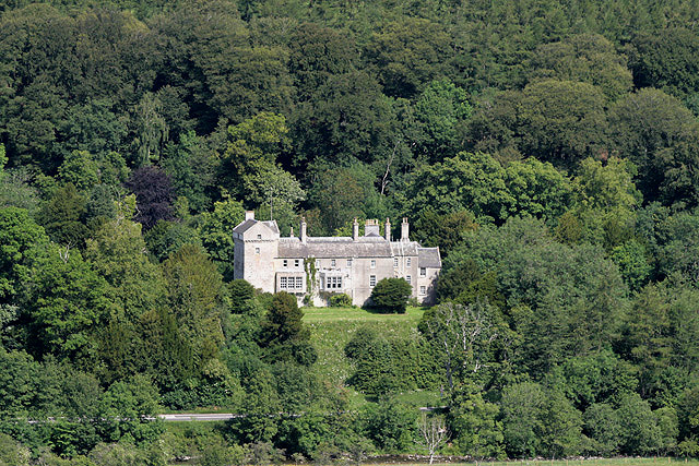
Branxholme Castle
Introduction
The photograph on this page of Branxholme Castle by Walter Baxter as part of the Geograph project.
The Geograph project started in 2005 with the aim of publishing, organising and preserving representative images for every square kilometre of Great Britain, Ireland and the Isle of Man.
There are currently over 7.5m images from over 14,400 individuals and you can help contribute to the project by visiting https://www.geograph.org.uk

Image: © Walter Baxter Taken: 14 Jul 2011
The original tower house was burnt by the Earl of Northumberland in 1532. The repaired tower house was then destroyed in 1570 and rebuilt from 1571-74 by the Scotts of Buccleuch. In 1837 the castle was altered and attached to a mansion house. The castle is about 3 miles southwest of Hawick on the northwest side of the A7. The road and River Teviot can be made out in the foreground. This was taken from Whitchesters Hill in the adjoining square to the south.

