Cycleway on disused railway
Introduction
The photograph on this page of Cycleway on disused railway by John M as part of the Geograph project.
The Geograph project started in 2005 with the aim of publishing, organising and preserving representative images for every square kilometre of Great Britain, Ireland and the Isle of Man.

There are currently over 7.5m images from over 14,400 individuals and you can help contribute to the project by visiting https://www.geograph.org.uk
Cycleway on disused railway
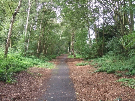
Image: © John M Taken: 30 Sep 2006
This cycleway follows part of the disused railway on the edge of the Memorial Park in Willenhall. The line was opened in 1872 between Wolverhampton and Walsall via Wednesfield and Willenhall. It was closed to passenger traffic in 1931. Closure to goods traffic is believed to be in the early 1960s though a source suggests the slightly earlier date of 1958.
Images are licensed for reuse under creativecommons.org/licenses/by-sa/2.0
Image Location
Latitude
52.587887
Longitude
-2.06195