Blackgate Lane, Tarleton
Introduction
The photograph on this page of Blackgate Lane, Tarleton by K A as part of the Geograph project.
The Geograph project started in 2005 with the aim of publishing, organising and preserving representative images for every square kilometre of Great Britain, Ireland and the Isle of Man.

There are currently over 7.5m images from over 14,400 individuals and you can help contribute to the project by visiting https://www.geograph.org.uk
Blackgate Lane, Tarleton
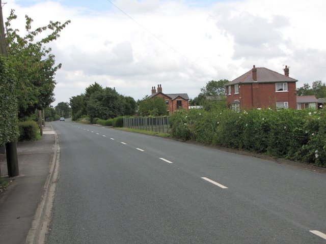
Image: © K A Taken: 10 Jul 2011
The width of what is now a quiet country lane is evidence that this was at one time the main road from Tarleton towards Southport. The modern A565 is now used by through traffic.
Images are licensed for reuse under creativecommons.org/licenses/by-sa/2.0
Image Location
Latitude
53.673103
Longitude
-2.848089