Middleton parish boundary
Introduction
The photograph on this page of Middleton parish boundary by Ian Lavender as part of the Geograph project.
The Geograph project started in 2005 with the aim of publishing, organising and preserving representative images for every square kilometre of Great Britain, Ireland and the Isle of Man.

There are currently over 7.5m images from over 14,400 individuals and you can help contribute to the project by visiting https://www.geograph.org.uk
Middleton parish boundary
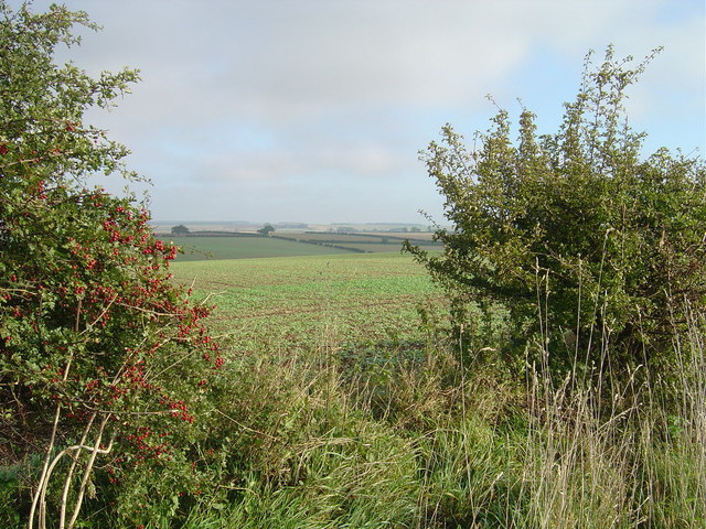
Image: © Ian Lavender Taken: 30 Sep 2006
Looking NNE through a gap in the hedge to the farmland and wolds beyond. The hedge forms the parish boundary between Middleton on the Wolds and North Dalton. There are traces of a ditch and mound to be seen in the hedge base which possibly marked the boundary before this area went under the plough.
Images are licensed for reuse under creativecommons.org/licenses/by-sa/2.0
Image Location
Latitude
53.938284
Longitude
-0.594784