Pedington Farm
Introduction
The photograph on this page of Pedington Farm by Linda Bailey as part of the Geograph project.
The Geograph project started in 2005 with the aim of publishing, organising and preserving representative images for every square kilometre of Great Britain, Ireland and the Isle of Man.

There are currently over 7.5m images from over 14,400 individuals and you can help contribute to the project by visiting https://www.geograph.org.uk
Pedington Farm
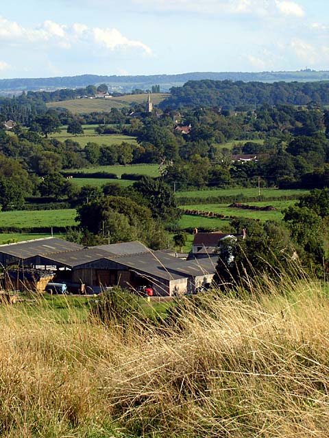
Image: © Linda Bailey Taken: 23 Sep 2006
View from in Whitcliff Park looking south-east towards Pedington Farm (on the grid-line) and beyond. The tower of the church Image at Stone can be seen.
Images are licensed for reuse under creativecommons.org/licenses/by-sa/2.0
Image Location
Latitude
51.665396
Longitude
-2.479977