Seething Wells Waterworks
Introduction
The photograph on this page of Seething Wells Waterworks by Rod Allday as part of the Geograph project.
The Geograph project started in 2005 with the aim of publishing, organising and preserving representative images for every square kilometre of Great Britain, Ireland and the Isle of Man.

There are currently over 7.5m images from over 14,400 individuals and you can help contribute to the project by visiting https://www.geograph.org.uk
Seething Wells Waterworks
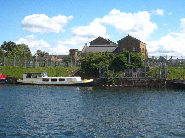
Image: © Rod Allday Taken: 23 Jun 2011
Opened in 1852, the waterworks are now closed and the buildings are to be redeveloped. Between the buildings and the river are reservoirs and filter beds which are a designated wildlife area.
Images are licensed for reuse under creativecommons.org/licenses/by-sa/2.0
Image Location
Latitude
51.392557
Longitude
-0.317035