Charlestown or Bannfoot
Introduction
The photograph on this page of Charlestown or Bannfoot by Kenneth Allen as part of the Geograph project.
The Geograph project started in 2005 with the aim of publishing, organising and preserving representative images for every square kilometre of Great Britain, Ireland and the Isle of Man.

There are currently over 7.5m images from over 14,400 individuals and you can help contribute to the project by visiting https://www.geograph.org.uk
Charlestown or Bannfoot
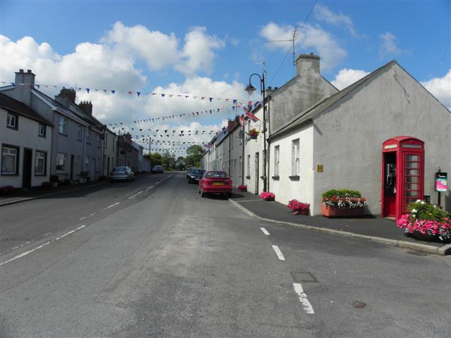
Image: © Kenneth Allen Taken: 13 Jul 2011
The road sign says Charlestown, but on the map, it is indicated as Charlestown or Bannfoot. The locals tend to refer to it as the latter.
Images are licensed for reuse under creativecommons.org/licenses/by-sa/2.0
Image Location
Latitude
54.506743
Longitude
-6.508853