Bin men on Radford Grove Lane
Introduction
The photograph on this page of Bin men on Radford Grove Lane by John Sutton as part of the Geograph project.
The Geograph project started in 2005 with the aim of publishing, organising and preserving representative images for every square kilometre of Great Britain, Ireland and the Isle of Man.

There are currently over 7.5m images from over 14,400 individuals and you can help contribute to the project by visiting https://www.geograph.org.uk
Bin men on Radford Grove Lane
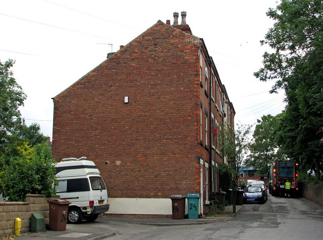
Image: © John Sutton Taken: 12 Jul 2011
In the 18th century Radford Grove Lane led down to Radford Folly, a fashionable pleasure garden by the banks of the Leen (see http://www.nottshistory.org.uk/whatnall1928/radford_folly.htm ). In the last century, the background of this view was dominated by the tall Players cigarette factory on the far side of Churchfield Lane, now demolished and the site of a retail park. The trees on the right are in Radford churchyard. Image] shows the Churchfield Lane end of this row of houses.
Images are licensed for reuse under creativecommons.org/licenses/by-sa/2.0
Image Location
Latitude
52.961023
Longitude
-1.18072