The newer part of Woodstock Avenue
Introduction
The photograph on this page of The newer part of Woodstock Avenue by John Sutton as part of the Geograph project.
The Geograph project started in 2005 with the aim of publishing, organising and preserving representative images for every square kilometre of Great Britain, Ireland and the Isle of Man.

There are currently over 7.5m images from over 14,400 individuals and you can help contribute to the project by visiting https://www.geograph.org.uk
The newer part of Woodstock Avenue
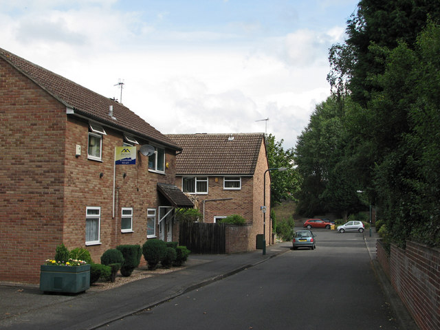
Image: © John Sutton Taken: 12 Jul 2011
Woodstock Avenue and the other roads west of Churchfield Lane were developed in the 1930s. This part, next to the River Leen, was once the site of a woodyard (whose other entrance was on Lynmouth Crescent, beyond the red car and trees at the far end) and lorry park. It was good to reminisce about these things with a friendly passer-by.
Images are licensed for reuse under creativecommons.org/licenses/by-sa/2.0
Image Location
Latitude
52.962831
Longitude
-1.182175