Upper Tump Farm, Earlswood
Introduction
The photograph on this page of Upper Tump Farm, Earlswood by Jaggery as part of the Geograph project.
The Geograph project started in 2005 with the aim of publishing, organising and preserving representative images for every square kilometre of Great Britain, Ireland and the Isle of Man.

There are currently over 7.5m images from over 14,400 individuals and you can help contribute to the project by visiting https://www.geograph.org.uk
Upper Tump Farm, Earlswood
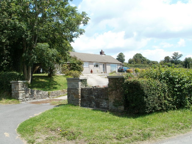
Image: © Jaggery Taken: 14 Jul 2011
Viewed from the road to Shirenewton. The entrance to the single-storey modern farmhouse passes over a cattle grid. UPPER TUMP FARM is engraved on the stone wall on the right side of the grid.
Images are licensed for reuse under creativecommons.org/licenses/by-sa/2.0
Image Location
Latitude
51.649377
Longitude
-2.783335