Towards Buddle Hill
Introduction
The photograph on this page of Towards Buddle Hill by Derek Harper as part of the Geograph project.
The Geograph project started in 2005 with the aim of publishing, organising and preserving representative images for every square kilometre of Great Britain, Ireland and the Isle of Man.

There are currently over 7.5m images from over 14,400 individuals and you can help contribute to the project by visiting https://www.geograph.org.uk
Towards Buddle Hill
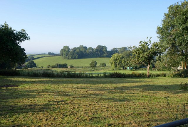
Image: © Derek Harper Taken: 14 Jul 2011
From just east of Whitnage, looking across the headwater area of a tributary of the Spratford Stream. A belt of woodland crosses the hilltop.
Images are licensed for reuse under creativecommons.org/licenses/by-sa/2.0
Image Location


Leaflet Map data © OpenStreetMap
Latitude
50.930733
Longitude
-3.384516