Up Bobbers Mill Road
Introduction
The photograph on this page of Up Bobbers Mill Road by John Sutton as part of the Geograph project.
The Geograph project started in 2005 with the aim of publishing, organising and preserving representative images for every square kilometre of Great Britain, Ireland and the Isle of Man.

There are currently over 7.5m images from over 14,400 individuals and you can help contribute to the project by visiting https://www.geograph.org.uk
Up Bobbers Mill Road
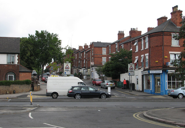
Image: © John Sutton Taken: 12 Jul 2011
The traffic going towards town is on Alfreton Road. The road works shown incomplete in Image] mean it is no longer possible to cross from Churchfield Lane (behind the camera) to Bobbers Mill Road (straight ahead).
Images are licensed for reuse under creativecommons.org/licenses/by-sa/2.0
Image Location
Latitude
52.964793
Longitude
-1.179905