Grundy Street
Introduction
The photograph on this page of Grundy Street by John Sutton as part of the Geograph project.
The Geograph project started in 2005 with the aim of publishing, organising and preserving representative images for every square kilometre of Great Britain, Ireland and the Isle of Man.

There are currently over 7.5m images from over 14,400 individuals and you can help contribute to the project by visiting https://www.geograph.org.uk
Grundy Street
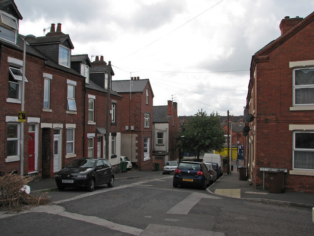
Image: © John Sutton Taken: 12 Jul 2011
From the corner of Fretwell Street. Until new residential streets were built to the west of Bobbers Mill Road and Churchfield Lane in the late 1930s, these streets were on the edge of Radford.
Images are licensed for reuse under creativecommons.org/licenses/by-sa/2.0
Image Location
Latitude
52.964606
Longitude
-1.178866